By Pragya Nagpal
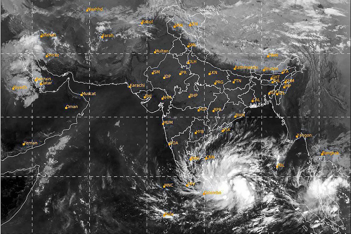
Leaving behind a trail of destruction in several states including Gujarat and Maharashtra by Cyclone Tauktae, the Indian Meteorological Department (IMD) has warned of yet another cyclone forming strength in a low-pressure area over the east-central Bay of Bengal around May 23 and can make landfall on May 24.
According to Sunitha Devi, incharge of the cyclone department at IMD, they have indicated in their bulletin that there is a likelihood of the formation of a low-pressure area of Bay of Bengal next week. In their outlook on cyclogenesis also they have indicated that the low-pressure system can intensify and make a development. As soon as the skill range will come in our forecasts, they will mention it.

She further mentioned that the sea surface temperatures are around 31 degrees C over the Bay of Bengal also and all the other oceanic and atmospheric conditions are favorable for cyclone development. It has also been informed that if the cyclone is formed it will not be as strong as the Cyclone Tauktae.
If the cyclone is formed it will be named as “Yaas” which means despair or disappointment. This name is given by Oman. It is still in the “Low- pressure “formation and IMD is waiting for its development before making any final announcements.

“It is possible that in the next 24-48 hours after the low pressure takes a shape, there will be a development of the cyclone. Amidst this, South Bengal is witnessing extremely hot and humid weather within the district’s temperature hovering around 40 degrees and Kolkata is witnessing a maximum temperature of around 39 degrees,” said GK Das, director (RMD).


