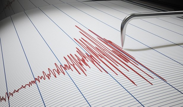
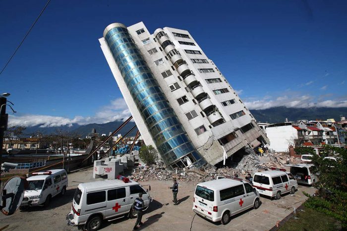
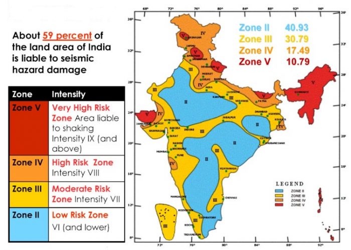
In the last week, North India witnessed several Earthquakes. Bikaner has been jolted by earthquakes of magnitude 5.3 while the ones felt in Hyderabad were of 4.0 magnitude. Now as per the recent seismic mapping, 59 percent of the country is prone to earthquakes of different intensities. According to the seismic zoning map of India given by Minister of Earth Science, Dr. Jitendra Singh in Lok Sabha, the total area of the country is classified into four major seismic zones.
What are Seismic Zones?
In February this year, the government had said that 965 earthquakes of magnitude 3 and above were recorded in 2020. Among these, 13 of them were in the National Capital Region and its nearby areas.
List of most seismically active cities
The cities included in the most active zone V are Bhuj, Darbhanga, Guwahati, Tezpur, Srinagar, Sadiya, Port Blair, Mandi, Kohima, and Jorhat.
Cities that fall in zone IV are Almora, Jalpaiguri, Kolkata, Ludhiana, Monghyr, Moradabad, Patna, Parganas, Pilibhit, Shimla, Roorkee, Ambala, Amritsar, Bahraich, Barauni, Bulandshahr, Chandigarh, Darjeeling, Dehradun, Deoria, Delhi, Dinajpur, Ghaziabad, Gangtok, and Gorakhpur.
Previously, the Ministry of Earth Sciences was under Harsh Vardhan. He had said that the NCS had initiated a magnetotelluric geophysical survey, interpretation of satellite imageries, and geological field investigations in Delhi and surroundings in collaboration with IIT Kanpur to locate and characterize the major seismic sources or fault lines in Delhi and surrounding regions.
The center is also considering seismic microzonation of cities in India having a population of 5 lakh to incorporate the data into better urban planning. The development will give inputs for constructing earthquake-resilient buildings to reduce the impacts of tremors and minimize the loss of lives and property.